Friday, August 31, 2012

Day 29 - (08/31) Diamond Lake, OR ... Day 2

We toured Crater Lake today.  Smoke from northern California fires deposited quite a haze over the lake and surrounding valleys.

Some history helps explain what we saw.  Approximately 7,700 years ago, 12,000 foot Mt. Mazama collapsed following a major volcanic eruption and a deep basin (caldera) was left where the  mountain's peak once stood.  A lake formed as centuries of rain and snow (but no rivers or streams) filled the basin.    It's considered to be the cleanest large body of water in the world and at 1,943 feet deep at it's deepest point; the deepest lake in the nation.  The tallest point on the rim is 1,978 feet above the lake.

We drove the 33 mile route along the ridge formed by the remains of a sunken mountaintop (a.k.a. the rim of the lake).  We had 133 pictures at the end of the day.  They weren't enough to capture the complete experience, but a few samples follow ...
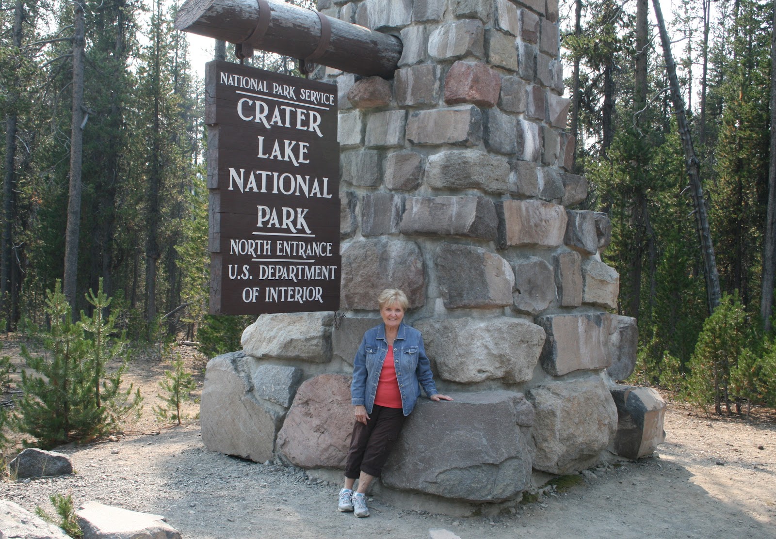
Getting started
Ridge line at North Junction
More rugged ridge at Watchman Overlook
It's a long way down to Steel Bay
There were lots of Golden-Mantled Ground Squirrels
 along the way
Cleetwood Cove
(the Cleetwood Cove Trail is the only
 legal path to the lake's surface)
Whitebark Pines at Cloudcap Overlook
Pumice Castle
Phantom Ship
(1 of only 2 islands on the lake)
Looking NW from Pumice Castle Overlook
Park Headquarters at Steel Visitor Center
Crater Lake Lodge
The Lodge's Great Hall
Wizard Island
Watchman Peak (8,013 ft)

Wayne Scott, a neighboring camper from Red Water, Alberta stopped by.  We shared travel experiences.

Thursday, August 30, 2012

Day 28 - (08/30) Diamond Lake, OR

Though the rushing waters were noisy outside, we could barely hear them inside the Airstream.  Maybe that's why we had a great night's sleep, started slowly and left late (10:15).  We're blessed with yet another sunny, beautiful day that only reached the mid-70s.
There's nothing quite like hitch-in up on a
sunny morning, by a flowing river, with a coffee
We're going to miss the river views

Our 207 mile trip took us from deep forest, to big city (Eugene), and back into deep forest.  We're camped 6 miles from the entrance to Crater Lake National Park.  The route: OR-128W to I-5 at Springfield, I-5S to OR-138E at Roseburg, OR-138E to OR-230W and the Diamond Lake Recreation Area.

We passed the Goodpasture Bridge on WA-128, near Vida.  Built in 1938, it's the 2nd longest (165 ft.) covered bridge in Oregon.

The scenery changed dramatically east of Roseburg.

We had a memorable lunch at The Original Munchies in Glide.  A few things you should know if you go there ... it was established in 1979, doesn't look like much from the outside, and our selections tasted great.  Also, they offer whole and half orders.  Dick found out why the hard way by ordering a whole "beaver burger".  Yikes!

We're at the Diamond Lake RV Park.  It's very nice, well run and deep in the woods (the antithesis of the KOA park in Missoula, MT).
Entrance to Diamond Lake RV Park
Diamond Lake is just a short walk away
Site W-38 is large and very clean

We explored the park facilities and grounds, went down by the lake, got huge servings of ice cream (it was called a 1 scoop cup, but was bigger than any 3 scoop serving we've seen) at a nearby camp store, watched a movie and went to bed.

Wednesday, August 29, 2012

Day 27 - (08/29) Blue River, OR

We headed south today.  We left the lumber land of Washington, crossed the Columbia River, and 227 miles later ended camped along the McKenzie River in Oregon.  Here's how it came about.

We're headed for Crater Lake and decided to take the National Geographic West Cascades Scenic Byway (P. 402) on the way.  The route: WA-504W to I-5, south on I-5 to I-205. south on I-205 passed Portland to Clackamas, OR-212E to OR-224, then OR-224E to Estacada where the scenic drive began.  We took OR-224E to Oakridge, Forest Road 46, OR-22 and OR-126 to Blue River.

We were immersed in thick forests and deep valleys from Estacada to Blue River.  We followed the Clackamas River for nearly 50 miles as we meandered through the Mt. Hood National Forest.  Later the route took us into the Willamette National Forest.  The roads worked their way around the mountains with lots of twists, turns, and steep grades.  More than 100 miles of the drive offered beautiful scenes, and nothing else.  There were no services and no view points.  At some places it seemed like we were driving through a tunnel of green.
Clackamas River flows through
Mt. Hood National Forest
Highway cuts were rugged
Traffic was light and the roads were narrow
Roads cut through the forests
Lava beds lined the road in
Willamette National Forest

Hoodoo's Patio RV Park is dated but is in a beautiful location along the McKenzie River (40 miles east of Eugene).  All the sites are full service (water, electric, sewer and cable TV).  We're in site #24 ... about as close as you can get to the river.
Site #24
Offers privacy
And a roaring river 


We head for Crater Lake tomorrow.

Day 26 - (08/28) Silver Lake, WA ... Day 2

WA-504 is an interesting route.  It begins at I-5, runs east nearly 60 miles to Johnston Ridge Observatory, and stops.  We took the route today because it's the most popular way to see Mt. St. Helens.  

It's been a little over 32 years since the volcano/mountain blew apart on May 18, 1980.  Yet, even today, the scenes brought feelings of awe and reflection.  It seemed as though we should observe in silence.

We started at the Mt. St. Helens Visitor Center.  It's a beautiful facility.  They offer a great orientation video, historical exhibits, and our first glimpse of the mountain.

The Hoffstadt Bluffs Visitor Center was the next stop along the way.  It offered a great view of the mud flow along the Toutle River and a temptation.
Dick was tempted by this way of viewing the mountain
(but, $10/min was a bit much for the experience)

The Hoffstadt Creek Bridge was one of many along the way.  It was located on the edge of the volcano's blast zone.

Johnston Ridge Observatory and the Mt. St. Helens National Volcanic Monument provided excellent orientation videos, exhibits, survivor statements, ranger talks, and views of the mountain.  The observatory was named for David Johnston, a U. S. Geological Survey geologist, who died observing the blast from this place ... his final report was "Vancouver!  Vancouver!  This is it!"
North face, hummocks and pumice plain
Huge trees stood here 32 years ago
The trees just snapped!
Mountainsides were barren
Spirit Lake (in center background)

The National Volcanic Monument
 is built into the mountain
This has been a memorable journey

If you enter on WA-504, you leave on WA-504.  The sign for Patty's Place caught our eye on the way in.  We stopped there for an early dinner on the way out.  Dinner on the back porch included a view of the Toutle River and ... an elkburger sandwich, a grilled chicken salad, strawberry-rhubarb cobbler and cherry-peach cobbler with ice cream.  Who got what is a secret.
You don't miss Patty's sign
View from the back porch
They wouldn't serve these guys

Weyerhaeuser lost 30 log trucks in the 1980 eruption.  This looks like one of them.  The trees have grown up through the frame and engine compartment.


Carol did research for tomorrow's trip when we got back home.