Some history helps explain what we saw. Approximately 7,700 years ago, 12,000 foot Mt. Mazama collapsed following a major volcanic eruption and a deep basin (caldera) was left where the mountain's peak once stood. A lake formed as centuries of rain and snow (but no rivers or streams) filled the basin. It's considered to be the cleanest large body of water in the world and at 1,943 feet deep at it's deepest point; the deepest lake in the nation. The tallest point on the rim is 1,978 feet above the lake.
We drove the 33 mile route along the ridge formed by the remains of a sunken mountaintop (a.k.a. the rim of the lake). We had 133 pictures at the end of the day. They weren't enough to capture the complete experience, but a few samples follow ...
 |
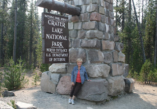
| Getting started |
 |
| Ridge line at North Junction |
 |
| More rugged ridge at Watchman Overlook |
 |
| It's a long way down to Steel Bay |
 |
| There were lots of Golden-Mantled Ground Squirrels along the way |
 |
| Cleetwood Cove (the Cleetwood Cove Trail is the only legal path to the lake's surface) |
 |
| Whitebark Pines at Cloudcap Overlook |
 |
| Pumice Castle |
 |
| Phantom Ship (1 of only 2 islands on the lake) |
 |
| Looking NW from Pumice Castle Overlook |
 |
| Park Headquarters at Steel Visitor Center |
 |
| Crater Lake Lodge |
 |
| The Lodge's Great Hall |
 |
| Wizard Island |
 |
| Watchman Peak (8,013 ft) |
Wayne Scott, a neighboring camper from Red Water, Alberta stopped by. We shared travel experiences.

No comments:
Post a Comment